Marine Cartography and Geographic Information Systems
Welcome to this exciting episode of our Postgraduate Certificate in Marine Navigation and Nautical Technology, where we delve into the fascinating world of Marine Cartography and Geographic Information Systems.
Welcome to this exciting episode of our Postgraduate Certificate in Marine Navigation and Nautical Technology, where we delve into the fascinating world of Marine Cartography and Geographic Information Systems.
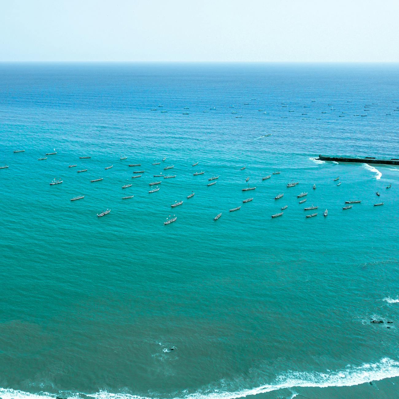
Imagine for a moment, you're a sailor setting out on a journey across the vast, unpredictable ocean. How do you navigate through treacherous waters, avoid hidden reefs, and reach your destination safely? This is where Marine Cartography and Geographic Information Systems come into play.
Marine Cartography is the art and science of making maps of marine environments, while Geographic Information Systems, or GIS, are advanced tools used to analyze, visualize, and manage spatial information. Together, they form a powerful combination that's essential for safe and efficient marine navigation, as well as countless other applications.
From a historical perspective, sailors have relied on rudimentary maps and star charts for millennia. However, with the advent of modern technology, we can now create incredibly detailed, interactive maps that provide real-time data and insights.
So, how can you make the most of these tools in your own life or work? Let's explore some practical applications and strategies.
Firstly, understanding the bathymetry, or underwater topography, of a region is crucial. With GIS, you can visualize and analyze this data to plan optimal routes, identify potential hazards, and even predict changes in weather patterns.
With GIS, you can visualize and analyze this data to plan optimal routes, identify potential hazards, and even predict changes in weather patterns.
Secondly, marine protected areas and conservation efforts benefit greatly from accurate cartography and GIS analysis. By mapping these areas and monitoring changes over time, we can ensure their preservation for future generations.
However, it's important to avoid common pitfalls. Poor data quality, lack of training, and insufficient updates can all lead to inaccurate maps and costly mistakes. To overcome these challenges, invest in high-quality data sources, ensure regular training for your team, and establish a system for regular updates and maintenance.
As we conclude, let me leave you with an inspiring message. The sea is vast and full of mysteries, but with the right tools and knowledge, we can unlock its potential and navigate it safely. So, apply what you've learned today, continue your journey of growth, and remember - the ocean is waiting for you to explore it.
Before we part ways, don't forget to subscribe, share, or engage with our podcast. Your support helps us continue creating valuable content for learners like you. Until next time, happy sailing!
Key takeaways
- Welcome to this exciting episode of our Postgraduate Certificate in Marine Navigation and Nautical Technology, where we delve into the fascinating world of Marine Cartography and Geographic Information Systems.
- How do you navigate through treacherous waters, avoid hidden reefs, and reach your destination safely?
- Marine Cartography is the art and science of making maps of marine environments, while Geographic Information Systems, or GIS, are advanced tools used to analyze, visualize, and manage spatial information.
- However, with the advent of modern technology, we can now create incredibly detailed, interactive maps that provide real-time data and insights.
- So, how can you make the most of these tools in your own life or work?
- With GIS, you can visualize and analyze this data to plan optimal routes, identify potential hazards, and even predict changes in weather patterns.
- Secondly, marine protected areas and conservation efforts benefit greatly from accurate cartography and GIS analysis.