Marine Survey Technology and Data Analysis
Welcome to this exciting episode of our podcast, where we dive into the world of Marine Survey Technology and Data Analysis. This unit is a critical part of our Postgraduate Certificate in Marine Survey Technology, and it has the power to t…
Welcome to this exciting episode of our podcast, where we dive into the world of Marine Survey Technology and Data Analysis. This unit is a critical part of our Postgraduate Certificate in Marine Survey Technology, and it has the power to transform the way you understand and interact with the ocean.
But what exactly is Marine Survey Technology and Data Analysis, and why should you care? Imagine being able to explore the depths of the ocean, discovering new species, and mapping the seafloor with incredible accuracy. Marine Survey Technology and Data Analysis is the key that unlocks this world, providing you with the tools and techniques to analyze and interpret marine data in ways that were once thought impossible.
From early explorers using lead lines to measure the depth of the ocean, to today's state-of-the-art autonomous underwater vehicles (AUVs) and satellite-based remote sensing technologies, the evolution of Marine Survey Technology and Data Analysis has been nothing short of remarkable. And the best part? This field is just getting started, and there's never been a better time to join the journey.
So, what can you do with Marine Survey Technology and Data Analysis? The possibilities are endless. Whether you're a marine scientist, an engineer, a government official, or simply a curious mind, this unit will equip you with the skills you need to make a real impact.
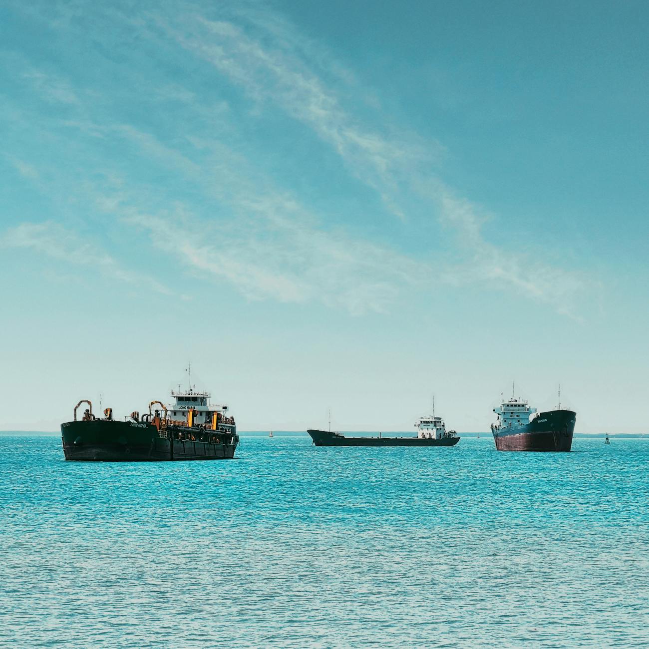
For example, marine surveyors use these technologies to create accurate maps of the ocean floor, which are essential for safe navigation, offshore construction, and the discovery of natural resources. Data analysts use sophisticated software tools to interpret the data collected by marine surveyors, uncovering patterns and trends that can help us better understand and protect our oceans.
But it's not all smooth sailing. There are common pitfalls to avoid, such as using outdated equipment, failing to properly calibrate your instruments, and not accounting for environmental factors like tides and currents. By understanding these challenges and learning from the experiences of others, you can set yourself up for success.
For example, marine surveyors use these technologies to create accurate maps of the ocean floor, which are essential for safe navigation, offshore construction, and the discovery of natural resources.
As we wrap up this episode, I want to leave you with an inspiring message. The ocean is a vast and mysterious place, full of wonder and possibility. With Marine Survey Technology and Data Analysis, you have the power to unlock its secrets and make a real difference in the world.
So, I challenge you to take what you've learned today and apply it in your own life or work. Share your experiences with others, engage with the marine survey community, and continue your journey of growth and discovery.
And if you enjoyed this episode, please subscribe, share it with your friends and colleagues, and leave us a review. Your support helps us continue to create high-quality content that inspires and educates listeners like you.
Thank you for joining us on this journey into the world of Marine Survey Technology and Data Analysis. Until next time, keep exploring, keep learning, and keep making a difference.
Key takeaways
- This unit is a critical part of our Postgraduate Certificate in Marine Survey Technology, and it has the power to transform the way you understand and interact with the ocean.
- Marine Survey Technology and Data Analysis is the key that unlocks this world, providing you with the tools and techniques to analyze and interpret marine data in ways that were once thought impossible.
- This field is just getting started, and there's never been a better time to join the journey.
- Whether you're a marine scientist, an engineer, a government official, or simply a curious mind, this unit will equip you with the skills you need to make a real impact.
- For example, marine surveyors use these technologies to create accurate maps of the ocean floor, which are essential for safe navigation, offshore construction, and the discovery of natural resources.
- There are common pitfalls to avoid, such as using outdated equipment, failing to properly calibrate your instruments, and not accounting for environmental factors like tides and currents.
- With Marine Survey Technology and Data Analysis, you have the power to unlock its secrets and make a real difference in the world.